
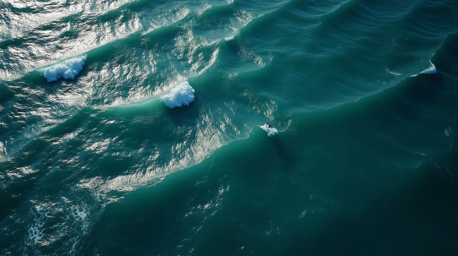
Anyone who has sailed the Aegean in August has met it. The meltemi is the northerly wind that dominates the Greek summer, and it is the single most important thing to understand about sailing in the Cyclades.
It is not a storm, it is not unpredictable and it is not a reason to avoid the Aegean. It is a seasonal pattern that arrives every year, behaves in a way experienced crews can plan around, and produces some of the best sailing in the Mediterranean for anyone equipped to use it.
Here is what it is, when it blows and what it means for a charter week.
What the meltemi is
The meltemi is a dry northerly wind that blows across the Aegean through the summer months. The ancient Greeks called these winds the etesiai, the annual winds, because they return every year with the season, and that is still the best description of them.
It is driven by pressure rather than by weather in the ordinary sense. Through the summer, high pressure sits over the Balkans and central Europe while intense heat over Turkey and southwest Asia creates a large area of low pressure. Air flows from the high towards the low, and the Aegean sits directly in that flow. The bigger the difference between the two, the harder the meltemi blows.
Because it is a pressure pattern and not a front, the meltemi comes with clear skies rather than cloud. Brilliant visibility, dry air, no rain and a hard blue sky are all part of it, which is why the photographs from a windy week in the Cyclades look so good.
When it blows
The meltemi is a summer phenomenon. It begins to appear around the middle of May, establishes itself through June, dominates July and August, and fades through September.
| Month | What to expect |
|---|---|
| May | First episodes appear, short-lived and moderate |
| June | Becoming regular, still generally manageable |
| July | Established, blowing for several days at a time |
| August | At its strongest and most persistent |
| September | Easing through the month, gaps between episodes lengthening |
| October | Largely finished, wind lighter and more variable |
Within an episode there is a daily rhythm. The wind is usually lightest in the early morning, builds through the middle of the day and is at its strongest in the afternoon. In a moderate spell it eases considerably overnight. In a strong one it blows day and night for several days without a break, and that is the pattern that catches crews out.
How strong
A typical meltemi is force four to six, which is a good working breeze for a well-found charter yacht and genuinely enjoyable sailing.
In a strong episode in high summer it reaches force seven, and gusts of eight are not unusual where the wind funnels between islands or accelerates around a headland. Those gusts are the reason local knowledge matters: the wind in open water and the wind in a channel between two islands can be a full Beaufort number or more apart.
The sea state is the other half of the story. The fetch between islands is short, so the meltemi builds a steep, close-together sea rather than a long ocean swell. It is not dangerous for a properly handled yacht, but it is uncomfortable to punch into, and it is what turns a fifteen-mile leg into a four-hour slog if you take it at the wrong time of day.
Where it is strongest
The meltemi is an Aegean wind, and within the Aegean it is not evenly distributed.
| Area | How the meltemi behaves |
|---|---|
| Cyclades | The core of it. Strongest, most persistent, accelerated in the channels between islands. |
| Northern Aegean | Strong, often from the northeast, with fewer sheltered stops between islands. |
| Dodecanese | Present but generally less severe, often veering more to the northwest. |
| Sporades | Generally a lesser version than in the Cyclades. |
| Saronic | Much reduced. Sheltered enough that it rarely dictates the day. |
| Ionian | Largely outside its reach. A different sea with a different wind pattern. |
The local effects matter as much as the region. Wind accelerates through gaps between islands, funnels down the lee side of high ground in violent gusts, and can be markedly stronger off a headland than it is a mile away from it. Every pilot book for the Aegean is largely a catalogue of these places.
How crews plan around it
Nobody who sails the Aegean regularly tries to beat the meltemi. They work with the shape of it.
What experienced crews actually do
- Move early. Leave at first light and be tied up by lunchtime, before the afternoon build.
- Go downwind first. Plan the route so the hard legs are with the wind, not into it.
- Reef before you need to. Put the reef in at anchor rather than on the way out.
- Choose anchorages for their shelter, not their looks. A pretty bay open to the north is a bad night.
- Build in a spare day. A week with a rest day absorbs one bad day. A week without one does not.
- Take a skipper for the Cyclades in August. The most common and the most sensible adjustment.
The other decision is the yacht. A catamaran sails flat and stays level at anchor, which changes what a windy week feels like below decks, and it is a large part of why families choose one for the Aegean. It matters most in the Cyclades, where the wind is strongest and the passages longest.
Where it barely reaches
If you want a Greek summer without the meltemi, the answer is straightforward: sail somewhere else in the country.
The Ionian is largely outside the pattern. Its wind is a gentle northwesterly sea breeze that fills in during the afternoon and dies away at night, all season, which is why it is the standard recommendation for families and first charters even in August.
The Saronic Gulf is sheltered enough that the meltemi rarely dictates a day, and it has the added advantage of very short distances between islands. The Sporades generally get a reduced version.
Within the Aegean itself there are still bays that stay usable in a blow, and knowing which ones is the difference between a good night and a sleepless one. Which ones they are varies by region, and the destinations page is the place to start.
A last practical point. The meltemi is generally well forecast a few days ahead. That is what makes it manageable rather than alarming: you are rarely surprised by it, and a week planned on Sunday evening around the forecast for Tuesday tends to hold.
Planning a Cyclades week? Our local guides cover yacht charter in Mykonos, yacht charter in Paros and yacht charter in Santorini, the islands where the meltemi shapes most routes.
Frequently Asked Questions
What is the meltemi?
A dry northerly wind that blows across the Aegean in summer, driven by high pressure over the Balkans and low pressure over southwest Asia. The ancient name for it, etesiai, means the annual winds.
When does the meltemi blow?
From around mid-May to September, at its strongest and most persistent in July and August, easing through September.
How strong does the meltemi get?
Typically force four to six. In strong summer episodes it reaches force seven, with gusts of eight where it accelerates between islands or around headlands.
Which areas does the meltemi affect most?
The Cyclades most of all, followed by the northern Aegean. The Dodecanese and Sporades get a lesser version, the Saronic Gulf less again, and the Ionian is largely outside it.
Can I still sail in the meltemi?
Yes, and many crews go specifically for it. It calls for an early start, an honest assessment of your experience and sheltered anchorages, and for a first charter in high summer it is worth taking a skipper.
Sources
- Encyclopaedia Britannica, Etesian wind. https://www.britannica.com/science/etesian-wind
- SKYbrary Aviation Safety, Etesian Wind. https://skybrary.aero/articles/etesian-wind
- meteo.gr, National Observatory of Athens, Strong meltemi (in Greek). https://meteo.gr/article_view.cfm?entryID=147
- Encyclopaedia Britannica, Aegean Sea, location and depth. https://www.britannica.com/summary/Aegean-Sea
- Encyclopaedia Britannica, Greece, Climate. https://www.britannica.com/place/Greece/Climate
Tell us when you want to sail and how much wind you actually want, and we will point you at the right sea and show you what is available in it.
See the fleet / request availability